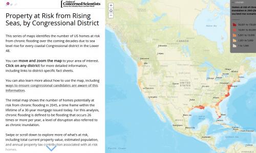
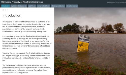
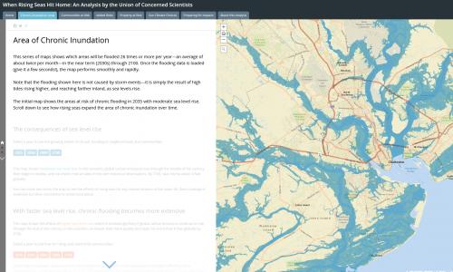
Now retired, this interactive tool identified when hundreds of US coastal communities will face chronic inundation as sea levels rise. It is being reevaluated.
We use cookies to improve your experience. By continuing, you accept our use of cookies. Learn more.