All climate resources
Blog post in Spanish
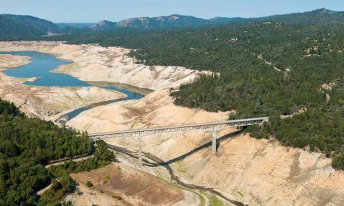
Blog: El cambio climático representa un gran desafío para la gestión del agua en California
Este blog es un resumen de resultados obtenidos a partir de un análisis de proyecciones de modelos climáticos para el estado de California.
Press release

We Stand in Solidarity
We condemn the racism that persists in the United States and the racist actions of the Trump administration.
Blog series
Blog series: the Future of Nuclear Power
Blog posts on the dynamics of nuclear power and global warming.
Feature
Killer Heat: Congressional Districts
Now retired, this tool showed district-specific fact sheets for all 433 Congressional districts in the contiguous United States. It is being reevaluated.
Feature
Killer Heat: GIS Map
Now retired, this interactive tool showed the increases in extreme heat projected to occur across the United States. It is being reevaluated.
Feature
Underwater: Congressional Maps
Now retired, this tool showed US homes at risk of flooding, by Congressional district. It is being reevaluated.
Feature
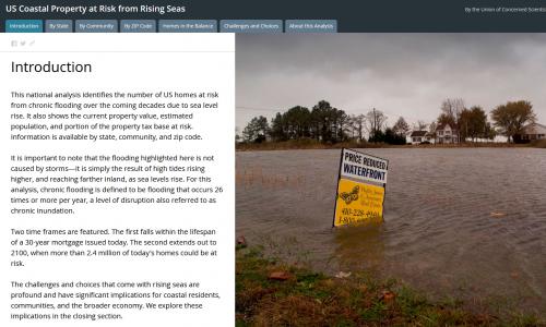
Underwater: GIS Map
Now retired, this interactive tool formerly let you explore US coastal properties at risk from rising seas. It is being reevaluated.
Feature
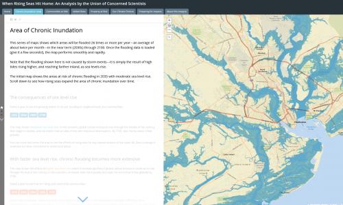
Rising Seas: GIS Map
Now retired, this interactive tool identified when hundreds of US coastal communities will face chronic inundation as sea levels rise. It is being reevaluated.
Report

Book: Cooler Smarter
A science-based guide on the most effective ways to cut your own global warming emissions.