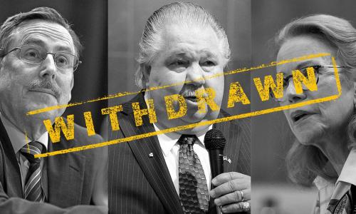
Blocked Anti-Science Nominees from the Trump Administration
UCS mobilized our half-million members and supporters.


DOUBLE YOUR IMPACT UNTIL 12/31!
We need you to hold the line against Trump’s dangerous anti-science agenda in 2026. Renew your support before 12/31 to count your gift toward the 2X Together For Science Match!