All features
Feature
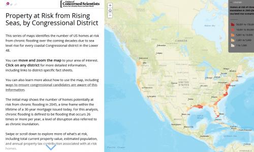
Underwater: Congressional Maps
Now retired, this tool showed US homes at risk of flooding, by Congressional district. It is being reevaluated.
Feature
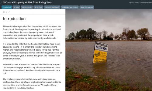
Underwater: GIS Map
Now retired, this interactive tool formerly let you explore US coastal properties at risk from rising seas. It is being reevaluated.
Feature
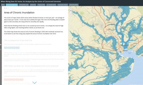
Rising Seas: GIS Map
Now retired, this interactive tool identified when hundreds of US coastal communities will face chronic inundation as sea levels rise. It is being reevaluated.